Subasta Bidspirit | ATLAS des Ports Étrangers. Paris:
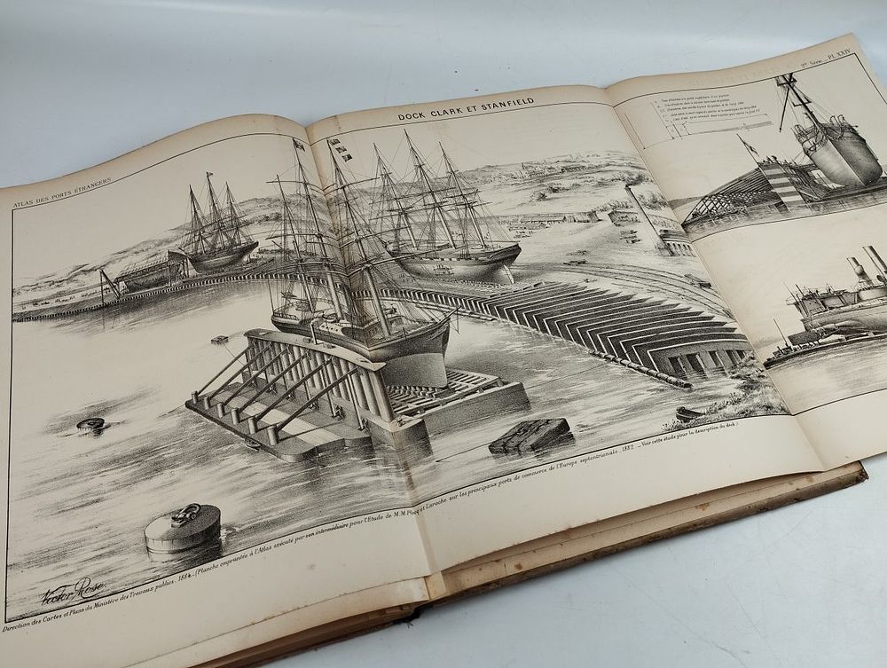
ATLAS des Ports Étrangers. Paris: Imprimerie Nationale, 1884. - ATLAS des Ports Étrangers . Paris: Imprimerie Nationale, 1884. 2 v.; [4] ff., 25 mapas; [4] ff., 24 mapas: il.; 340 mm. Publisher's bindings in percaline cloth, worn. Official publication of the French Ministry of Public Works in two volumes (livraisons). The first livraison (Paris, 1884), produced by the Direction des Cartes, Plans et Archives et de la Statistique Graphique, contains 25 plates in two series: general port plans (Hamburg, Boston, Charleston, Rio de Janeiro, Cardiff, Dublin, Trieste, Antwerp, Barcelona, Genoa, Leghorn, Messina, Christiania, Oporto, St Petersburg, Stockholm) and docks, quays and machinery. The second livraison (Paris, 1886), issued by the Service des Cartes et Plans of the Ecole Nationale des Ponts et Chaussees, presents 3 general maps (planisphere, Europe, England) and plans of British, Dutch (Amsterdam, Rotterdam), German (Bremerhaven), Portuguese (Lisbon) and French ports (Dunkirk, Calais, Boulogne, Dieppe, Le Havre, Rouen, Saint-Nazaire, Bordeaux). A large-format technical work of interest for the history of cartography and nineteenth-century harbour engineering. Unusual.